Primary-source correction: KCFCD funded 26 miles of temporary barriers valley-wide (multi-million-dollar effort including removal), superseding informal '$1.5M / 12 miles in Kent' shorthand.
FREIGHT, RAIL & VALLEY · THE VALLEY · HISTORICAL EVENT (CORRECTED)
2009 Hanson Dam Seepage & 26-Mi Defense
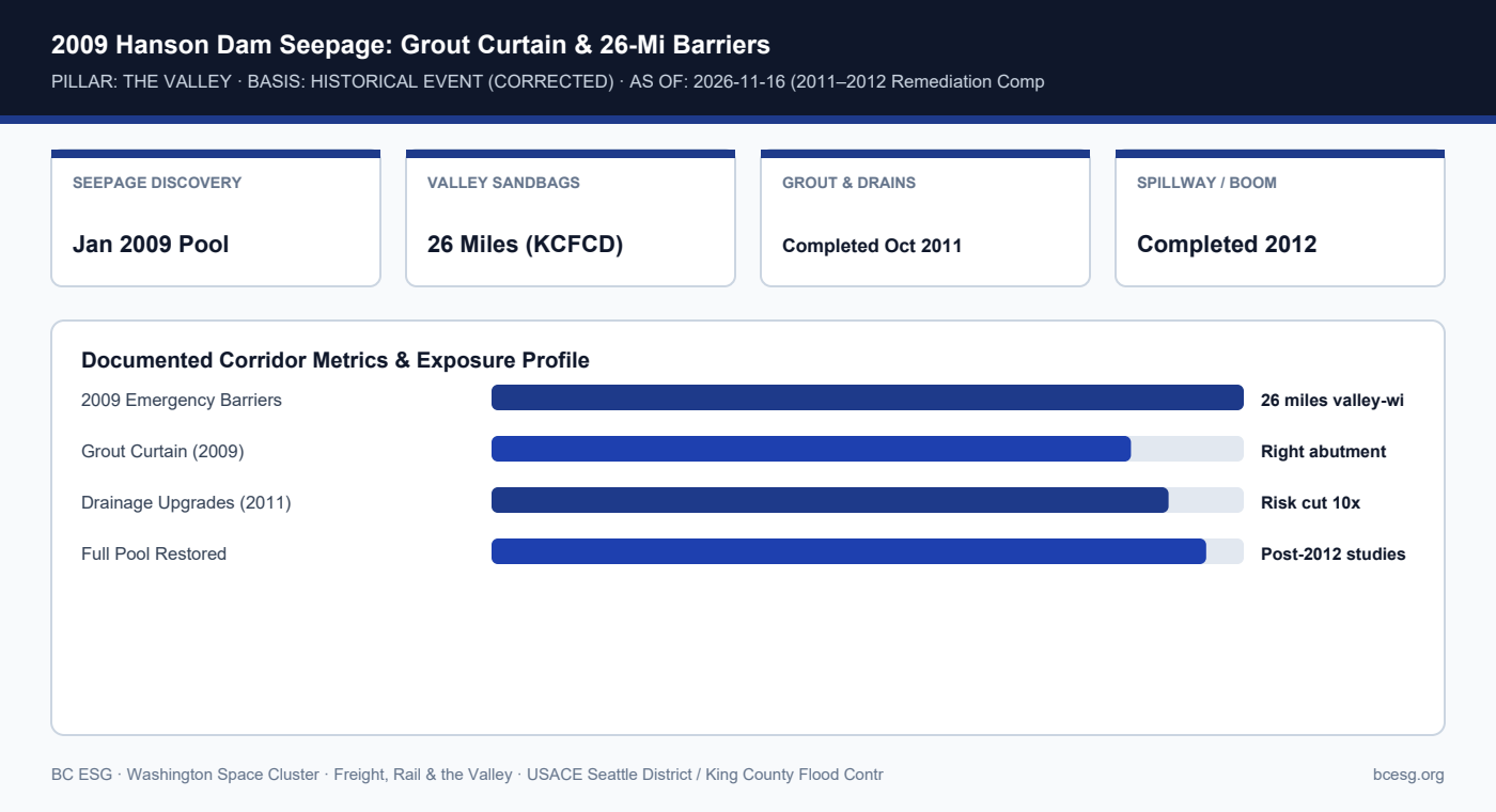
After a record January 2009 pool revealed right-abutment seepage and sinkholes at Howard A. Hanson Dam, USACE built a grout curtain and drainage system (2009–2012) while King County Flood Control District funded 26 miles of temporary sandbag barriers.
Primary Agency / Source: USACE Seattle District / King County Flood Control District | As-Of / Horizon: 2026-11-16 (2011–2012 Remediation Complete)
Documented Corridor Facts & Continuity Record
- Following a record-high pool in January 2009, USACE engineers discovered two sinkholes/depressions and sediment-laden water entering the right-abutment drainage tunnel at Howard A. Hanson Dam.
- While USACE restricted storage and built a subsurface grout curtain (late 2009) plus filtered drains (completed October 2011) and spillway/log-boom upgrades (2012), the valley faced elevated flood odds.
- Primary-source check vs. frame-research shorthand: King County Flood Control District funded 26 miles of temporary industrial sandbag/super-sack barriers across Kent, Auburn, and Tukwila—far exceeding '12 miles / $1.5M in Kent'—with removal alone costing several million dollars.
2009 Hanson Dam Seepage: Frame Shorthand vs. Primary-Source Record
| Item | Frame Note | Primary-Source Record | Authority |
|---|---|---|---|
| Abutment Seepage | 2009 seepage scare | Jan 2009 pool; 2 sinkholes, muddy tunnel flow | USACE Seattle District |
| Temporary Barriers | Kent $1.5M / 12 miles | 26 miles funded valley-wide; multi-$M removal | KCFCD / Local Press |
| Permanent Dam Fix | Not stated in shorthand | 2009 grout curtain; Oct 2011 drains; 2012 upgrades | USACE Seattle District |
| Current Dam Status | 1-in-4 odds (2009 season) | Max pool capacity safely restored post-2012 | USACE Final Safety Studies |
Operational Exposure & Facility Playbook
- The 2009 episode proves that even before a levee breaches, a dam storage restriction forces valley-wide emergency barriers and multi-year disruption.
- USACE final dam-safety studies confirmed the 2009–2012 abutment remediation reduced risk by an order of magnitude and restored full pool capacity.
- Facilities teams should preserve institutional memory of 2009 staging footprints—knowing which access roads hosted super-sacks prevents dock blockages.
Connected Valley Cities, Segments & Role Briefs
- WA Space Cluster Hub (#1382)
- Kent WA Space Cluster Profile
- Auburn WA Space Cluster Profile
- Tukwila WA Space Cluster Profile
- Facilities / EHS Desk Brief
- King County Floodplain & Levee Rule