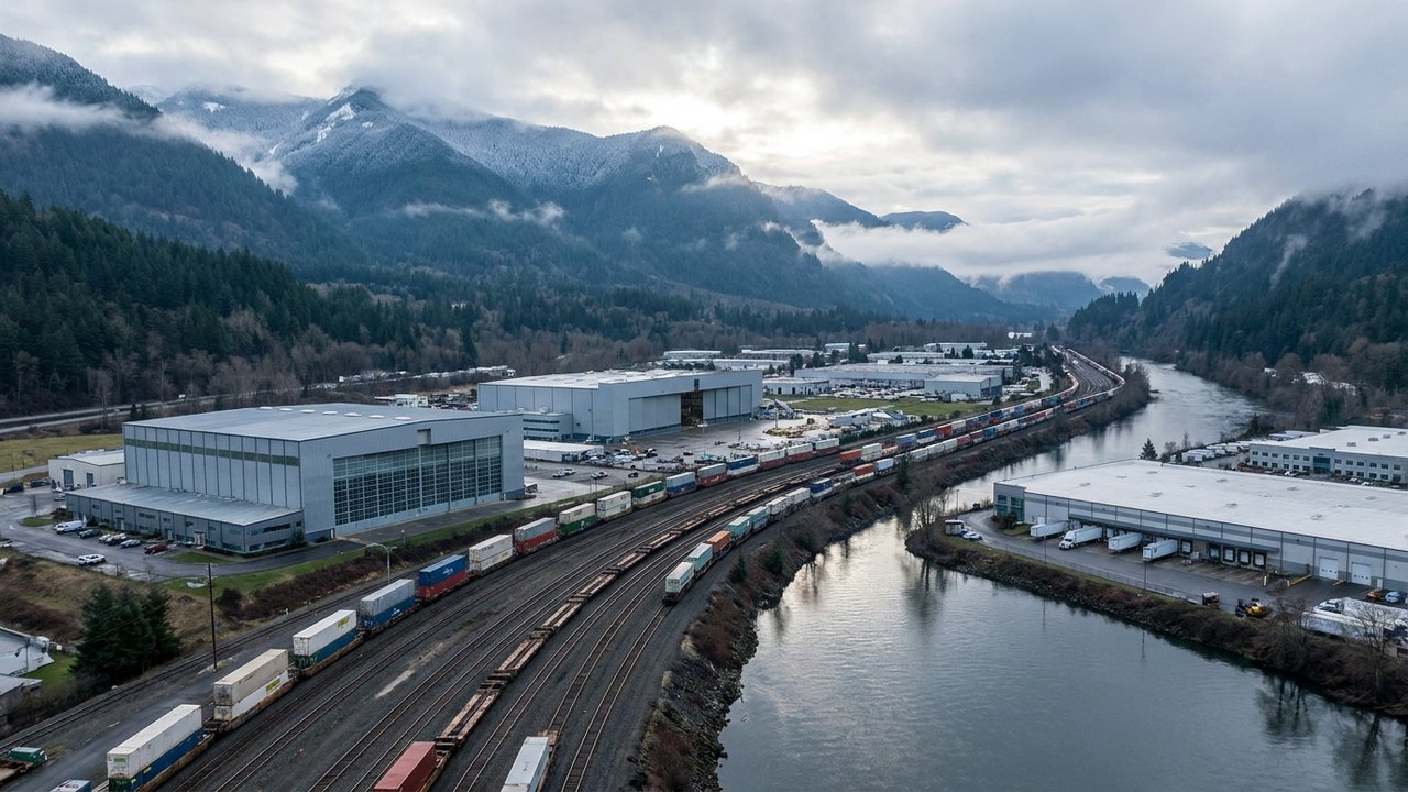
Company locations from BC ESG Census (#1388); flood exposure bounded to King County floodplain and Dec 2025 SR 167 closure records.
FREIGHT, RAIL & VALLEY · THE VALLEY · AGENCY FIGURE + CENSUS
Kent Valley Floor & Levee Exposure
Kent anchors the Green River Valley's highest concentration of launch and propulsion hardware—including Blue Origin, Stoke Space, Relativity Space, and PowerLight—all sharing the SR 167 and BNSF valley floor.
Primary Agency / Source: King County Flood Services / BC ESG Census | As-Of / Horizon: 2026-11-16
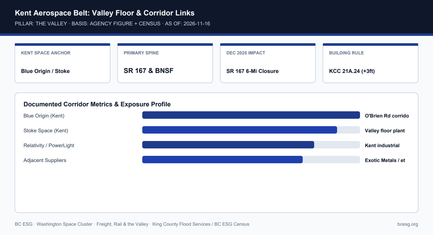
Documented Corridor Facts & Continuity Record
- Kent hosts Blue Origin, Stoke Space, Relativity Space, PowerLight Technologies, and space-adjacent Exotic Metals Forming on the Green River Valley floor.
- While the Dec 15, 2025 Desimone breach occurred just north in Tukwila, evacuation orders spanned Kent, Renton, and Tukwila, and the 6-mile SR 167 closure severed north-bound valley freight.
- King County Code 21A.24 requires Zero-Rise floodway compliance and +3 feet above Base Flood Elevation (BFE) for new/substantially improved structures in mapped floodplains.
Kent Valley Space Cluster Corridor Dependencies
| Corridor / Asset | Role for Kent Facilities | Documented Vulnerability | Primary Source |
|---|---|---|---|
| SR 167 Expressway | North-south freight & shift spine | Closed 6 miles Dec 15, 2025 | King County / WSDOT |
| BNSF Valley Mainline | Heavy rail & transcontinental link | Shares valley floor grade | WSDOT / BNSF |
| Green River Levee System | Flood protection for industrial parks | Desimone fix delayed to 2031 | King County DNRP |
| I-5 Fallback (Modeled) | Only parallel north-south freeway | Saturated in County Annex | WA EMD Recovery Annex |
Operational Exposure & Facility Playbook
- Kent facilities on high-bay concrete pads often survive shallow street flooding, yet lose outbound truck windows and second-shift staffing when SR 167 closes.
- Audit dock-apron elevations, sump pump backup power, and hazardous-material storage (WAC 173-303) above +3 ft BFE.
- Maintain pre-approved east-west escape routes via SR 516 / Kent-Kangley or SR 18 toward I-90 when SR 167 floods.
Connected Valley Cities, Segments & Role Briefs
- WA Space Cluster Hub (#1382)
- Kent WA Space Cluster Profile
- Blue Origin WA Profile
- Stoke Space WA Profile
- Facilities: Waste, PSCAA & Floodplain
- King County Floodplain & Levee Rule